Question about item
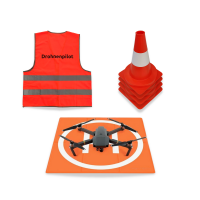
This bundle consists of:

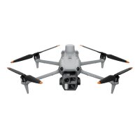
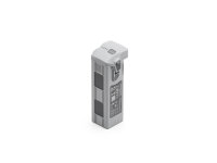
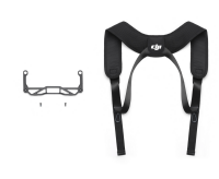

- Available immediately
-
Delivery time: 2 - 3 Workdays (DE - int. shipments may differ)
Description
Suitable for...
- Building contractors in structural or civil engineering
- Site managers
- Architects
Why?
Construction documentation
You can easily create aerial photos and 2 cm accurate site images. Simply mark the area on the remote control, specify a safe flight altitude and the drone automatically creates the necessary images.
Surveys
The set includes everything you need to take measurements with a drone. You receive a high-precision RTK drone, reliably functioning software and the necessary training to get you started straight away. Measure distances, areas and volumes on the computer.
Building Information Modeling (BIM)
You get the means to quickly create 2 cm accurate point clouds of construction sites . The data can be imported seamlessly into Civil 3D, Revit and similar products . CAD users can manually draw lines and polygons and import them as DXF into AutoCAD or other CAD programs .
Easy-to-use cloud software
Precise positioning
The drone has the RTK system on board. RTK uses the GPS signal and ensures significantly more precise positioning through intelligent post-processing. This benefits the quality of your calculated model.
Demo project
Visit our demo projects page for more examples and download our free sample data.
