Surveying
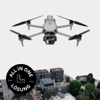
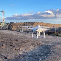
Survey up to 50 ha profitably? View the RTK 50 ha surveying package now.
Want to survey large areas efficiently? View the RTK 200 ha surveying package or PPK 400 ha surveying package now.
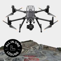
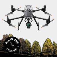
Looking for a LIDAR drone? View the LIDAR surveying package now.
10 Items
- SKU:
- AC27205
- Variations in:
-
- Software
Highlights
- Area measurement from 1 ha up to 50 ha
- Real-time kinematics (= RTK)
- Ready-to-fly package
Suitable for
- Planning and engineering offices
- Surveying offices
- Surveying tasks in your own company
- SKU:
- AC27204
- Variations in:
-
- Software
Highlights
- Area measurement from 5 ha up to 200 ha
- Real-time kinematics (RTK)
- Ready-to-fly package
- 45 MP full-format camera, interchangeable
Suitable for
- Engineering and planning offices
- Surveying offices
- Companies with their own surveying tasks
- SKU:
- AC27195
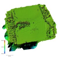
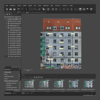
You fly, we analyse! Photogrammetry results at the touch of a button.
- SKU:
- AC26979
Powerful computer and leading photogrammetry software from a single source
- SKU:
- AC26785
You bring the project. We fly and analyse. You receive the result.
- SKU:
- AC26754
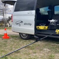
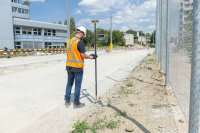
Reliable GPS rover with intuitive use for everyone
- SKU:
- AC26753
Highlights
- interchangeable sensors
- independent of weather and light
- Ready-to-fly package
Suitable for
- Planning and engineering offices
- Surveying offices
- Surveying tasks in your own company
- SKU:
- AC26109
Agisoft Metashape training as an on-demand video course with personalised coaching. Get the pro on your screen. For beginners and advanced users.
- SKU:
- AC26969
The fastest way to roof measurements by drone! Focussed training for Agisoft Metashape Professional.
