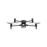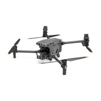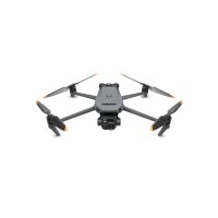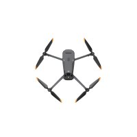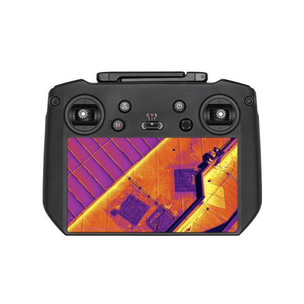
Thermal imaging solutions
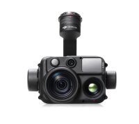
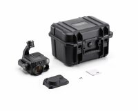
Expand your portfolio! Thermal imaging cameras for drones complement your options. Whether you need expertises, inspections or fawn rescue - use the smart thermal imaging solutions from Airclip
- Available immediately
-
Delivery time: 2 - 3 Workdays (DE - int. shipments may differ)
- Available immediately
-
Delivery time: 2 - 3 Workdays (DE - int. shipments may differ)
Thermography with drones: Innovative applications and purchasing advice
In recent years, large-format handheld cameras have evolved into ultra-modern, centimetre-sized high-tech systems. Numerous manufacturers have now integrated high-quality thermal imaging cameras into drones. We offer you a comprehensive overview of these technologies and their possible applications.
Areas of application for drones in thermography
Drones are increasingly being used in various areas such as agriculture, industry and security. In the field of thermography, they are primarily used for the following purposes
- Inspection in the property and construction industry: detecting thermal bridges and moisture damage on roofs and facades.
- Agriculture: monitoring irrigation.
- Energy supply: Inspection of power lines and photovoltaic systems.
- Search and rescue missions (SAR): Support in the search for missing persons by organisations such as the German Red Cross (DRK), mountain rescue and police.
- surveillance and security: Monitoring large areas and objects at night, especially in combination with perimeter protection.
- Fire source detection: Identification of fire sources by fire brigades.
- Fawn search: Locating fawns in agricultural areas.
Choosing the right drone and camera
Important manufacturers and partnerships
The American company FLIR is the leading provider of thermal imaging sensors, but does not offer its own drones. Cooperation with DJI and Yuneec has resulted in seamlessly integrated thermal imaging systems. DJI, as the world's largest drone manufacturer, has developed its own thermal imaging sensors in recent years, which impress with their high functionality at lower prices.
Purchase criteria and recommendations
The most important purchase criterion is the resolution of the camera. This largely determines the price class. Currently, the standard resolution is 640 x 640 pixels. The larger the area to be monitored and the further the distance to the target object, the higher the resolution should be.
Questions to narrow down the candidates for purchase:
- Which functions are important to me?
- What budget do I have available?
- Do I have suitable flying experience, especially without GPS support on facades?
- What size is my operational vehicle and is there enough power for recharging the batteries?
Our top recommendations
- DJI Mavic 3T: Compact and cost-effective solution with 640 x 640 px resolution.
- DJI Matrice 30T: Rain-resistant drone with 640 x 640 px resolution for demanding conditions.
- DJI M350 H30T: The flagship among thermal imaging solutions with the highest resolution, radiometric measurement and long flight time.
Consultancy and service
We offer you free advice and are happy to share our experience of useful functions and possible applications. Our ready-to-fly packages include the aircraft, set-up, training and service & support for software and hardware. Benefit from our experience and expand your portfolio with a thermal imaging solution!
Further information
In our comprehensive guide, we explain the technical context and explain in detail what you need to look out for when choosing a thermal imaging system.
Expand your options with an innovative thermal imaging solution and benefit from the advantages of thermography with drones.
